| HOME | 'Top_Layer' Sheet | N E X T ››› |
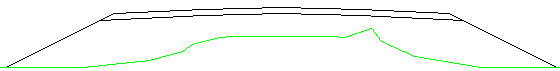
Top layers are shown by Red lines:
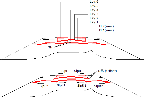
SlpL= Slope in Left
SlpR= Slope in Right
FL= Full Layer
Off.= Offset (stepping of one side)
As shown in above figure, maximum 6+2=8 layers are possible.
Offset is measured from their corresponding upper layer.
Give layer name, thickness at centre, slopes in left/right sides and offset, for each layer in this sheet:
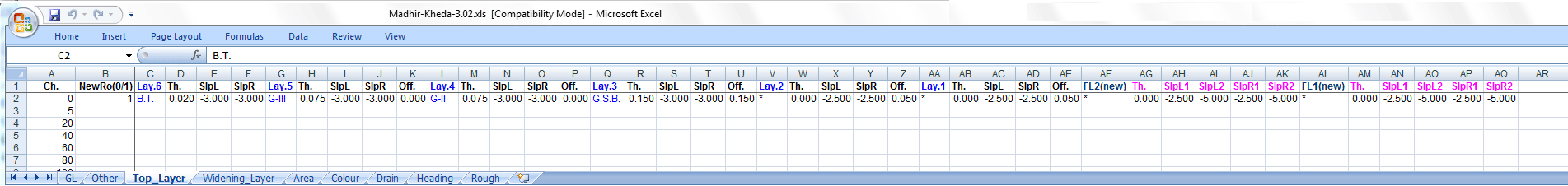
Give '0' thickness for no layer.
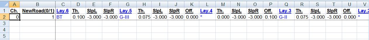
Do not give discontinue layers:Following data is wrong, because 'Lay.6', and 'Lay.5' are present (non zero thickness), 'Lay.4' is not present (zero thickness), but again 'Lay.3' is present. This is called discontinue layer data:
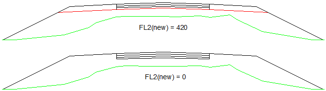
If you give 0 thickness for all 6 layers from 'Lay.6' to 'Lay.1'
and give some thickness for 'FL2(new)', then you get only this layer:
Give '420' thickness for 'FL2(new)', to get single line for earth work.
Here three layers 'Lay.6', 'Lay.5', and 'Lay.4' are also present:
Give shoulder thickness in 'Other' sheet, if you want.
NewRoad(0/1): This is the IInd column of Top_Layer sheet.
Give '1' for new road and give '0' for improvement or widening type of cross sections.
See following two cross sections:
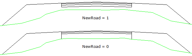
When this parameter is set to '0', lowest layer is up to GL.
Note: When this value is '1', Widening layers will ignore, even if you give, using 'Widening_Layer' sheet.Top Next